Chitradurga at a Glance
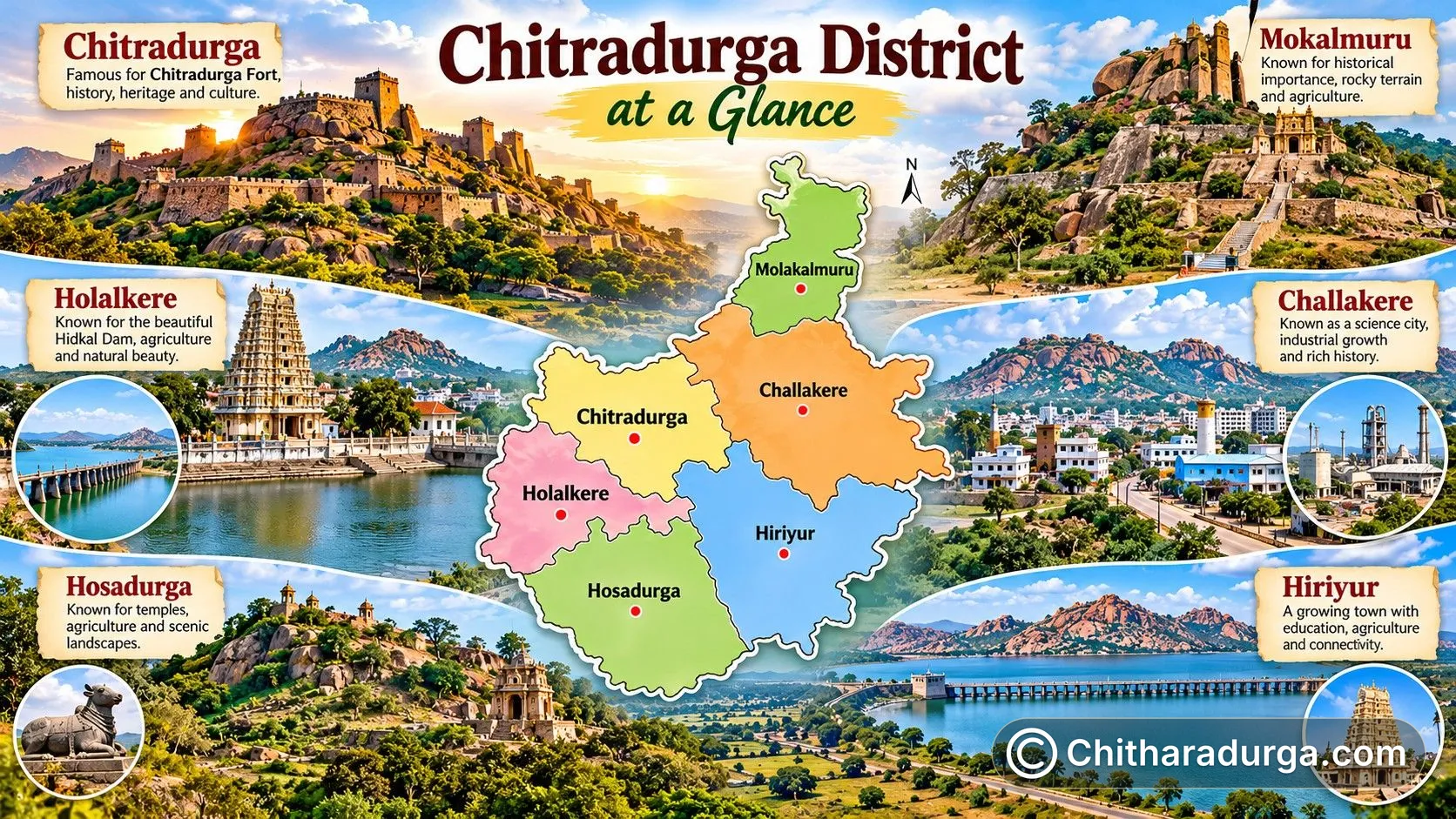
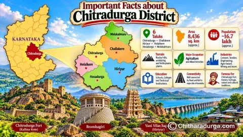
Chitradurga is one of the 31 districts of Karnataka, with Chitradurga city serving as its district headquarters. The present district covers approximately 8,436 square kilometres.
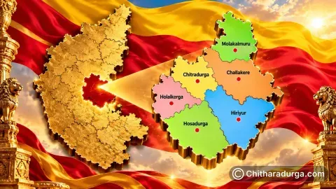
Administratively, the district consists of six taluks:
Chitradurga • Challakere • Hiriyur • Holalkere • Hosadurga • Molakalmuru
The district administration currently lists 189 Gram Panchayats, 1,063 villages and seven urban local bodies.
Chitradurga's landscape is instantly recognisable. Rocky hills, exposed granite formations, valleys, dry plains, tanks and reservoirs give the region a distinctive geographical character.
Historically, the district's strategic position helped connect different political and cultural regions of Karnataka and the Deccan. Today, major road networks continue to make Chitradurga an important link between Bengaluru and different parts of central and northern Karnataka.
The district is predominantly Kannada-speaking while also reflecting linguistic and cultural interaction with neighbouring regions. The official district portal lists Kannada, Telugu, Hindi and English among languages spoken in the district.